 55 min
Product launch
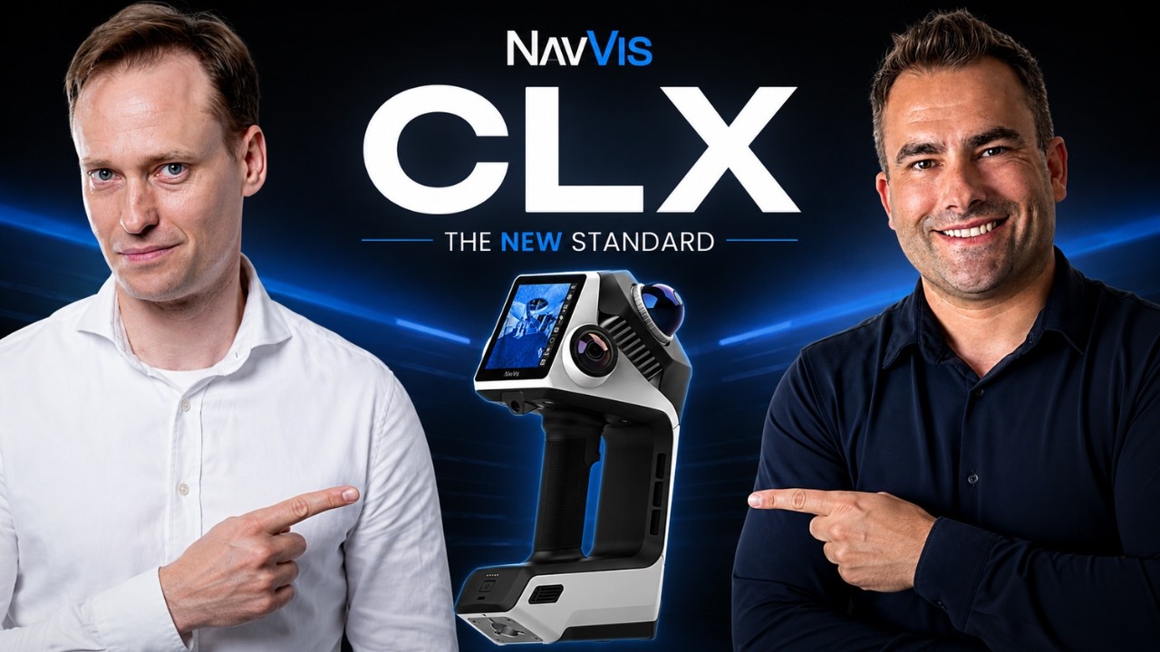
NavVis CLX: what the new handheld SLAM scanner can and can’t do
Michael Schoelkopf · NavVis

SLAM (simultaneous localisation and mapping) scanners build a 3D map while tracking their own position, so a site can be captured by walking through it. They trade some accuracy for speed compared with tripod-based laser scanning.
Start here
55 minProduct launch
Michael Schoelkopf · NavVis
 1 h 32 min
Interview
Olaf Freier · INTERGEO
 1 h 31 min
Interview
Ben Williams · Exyn Technologies
 1 h 43 min
 1 h 48 min
Interview
Zlata Karpushina, Mehdi Boroumand · FJ Dynamics
 1 h 33 min
 1 h 18 min
Technical deep dive
Povilas Sindriunas · Undet
2DIAMR Weekly
2DIAMR Weekly: the week’s biggest news, new technology, the latest 2DIAMR episode and an editor’s take. Five minutes, every Thursday.
Free. No spam, unsubscribe anytime. Privacy